
New York City's Changing Waterfront
The story of NYC's waterfront over the last few decades can be told as a reorientation towards its harbor and waterways.
Centuries of land development, growth in maritime transport, and proliferation of industry along the waterfront effectively closed off recreational access to the waterfront. The subsequent slow decline of industry’s prominence — first within NYC, and then throughout the region, led to steady public and private disinvestment from the wharves, piers, and waterfront infrastructure that supported maritime industry. The economic fallout exacerbated by the City’s fiscal crisis of the 1970s and 1980s quickly spread to the neighboring communities that relied on jobs and city services. By the early 1990s, much of the immediate waterfront was underutilized, polluted and inaccessible for productive use or public enjoyment. Many of the adjacent waterfront communities were left in an economic and public health crisis and without much safe access to their shoreline.
Many of the changes that have occurred on NYC’s 520 miles of waterfront are the result of ideas embedded within the previous Comprehensive Waterfront Plans. These transformations are the result of significant planning efforts involving extensive collaboration between government agencies and the many New Yorkers who have expressed their passion for making NYC’s waterfront and waterways better places to live, learn, work and play. Several significant changes are highlighted below. These examples show the progress the City and waterfront communities have made to increase use of the waterfront for open space, housing and jobs, and to improve waterways for transportation, recreation and natural habitats.
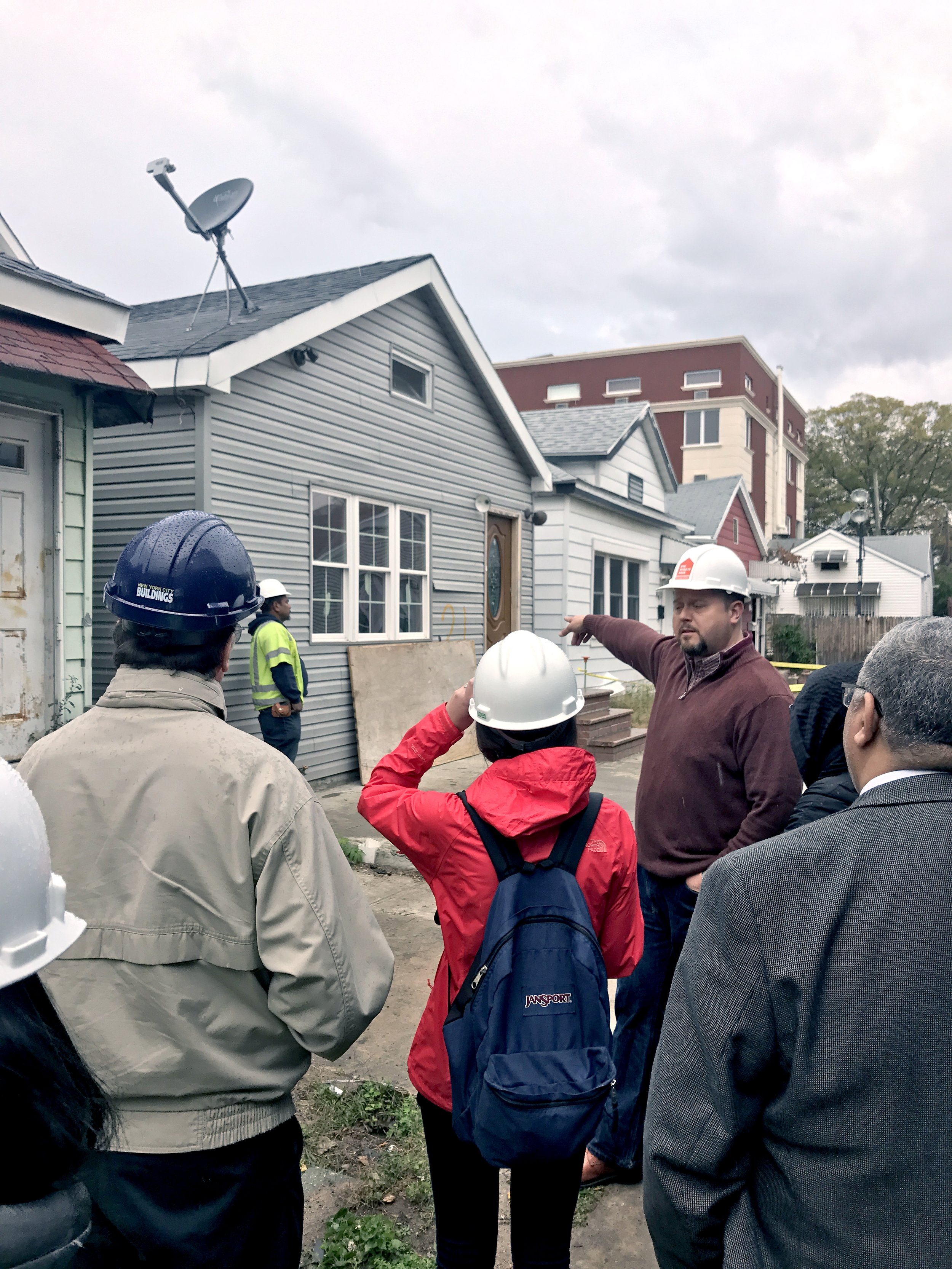
 Adapting to Climate Change

 Adapting to Climate Change

 Adapting to Climate Change
Photo Credit: NYCHPD

 Adapting to Climate Change
Photo Credit: NYCHA

 Adapting to Climate Change
Photo Credit: NYCEDC

 A System-wide Approach to Restoring the Natural Environment
Photo Credit: WSP

 A System-wide Approach to Restoring the Natural Environment
Photo Credit: NYCDEP

 A System-wide Approach to Restoring the Natural Environment
Photo Credit: NYCDEP

 A System-wide Approach to Restoring the Natural Environment
Photo Credit: Billion Oyster Project

 A System-wide Approach to Restoring the Natural Environment
Photo Credit: Billion Oyster Project

 Expanding Public Access to the Waterfront

 Expanding Public Access to the Waterfront
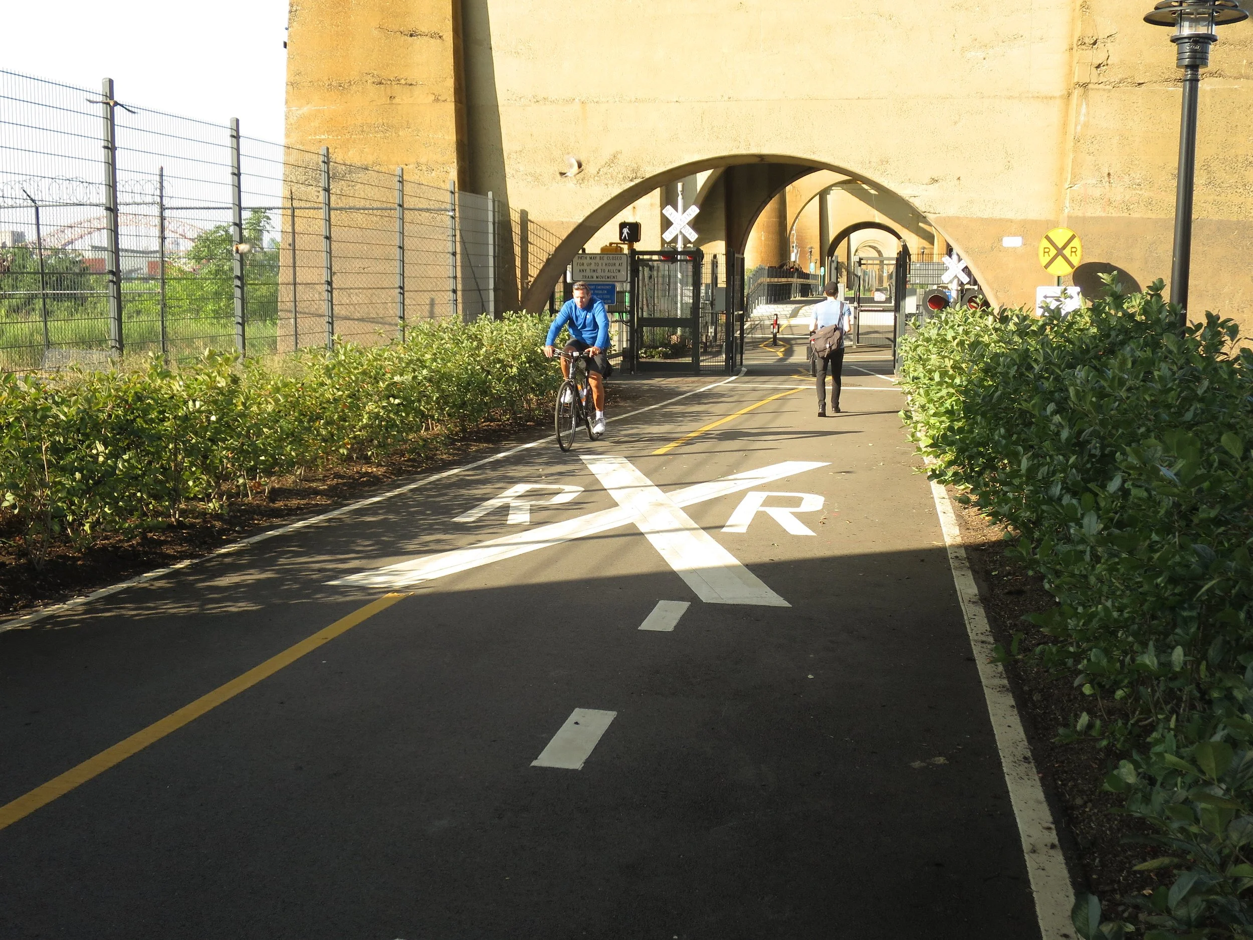
 Expanding Public Access to the Waterfront
Photo Credit: NYCDOT

 Expanding Public Access to the Waterfront
Photo Credit: NYC Parks

 Expanding Public Access to the Waterfront

 Diversifying the City's Economy on the Waterfront
Photo Credit: South Brooklyn Marine Terminal

 Diversifying the City's Economy on the Waterfront
Photo Credit: SCAPE

 Diversifying the City's Economy on the Waterfront
Photo Credit: Courtesy of the Port Authority of New York and New Jersey

 Using NYC's Waterways as Connectors
Photo Credit: NYCEDC
