Water Quality and Natural Resources

In the next 10 years, New Yorkers will have access to cleaner bodies of water, expanded water safety education and more interaction with nature. The City has opportunities to build on its multibillion-dollar investments to improve water quality through various programs and policies. The City will continue to maintain and restore the waterfront’s natural habitats and ecological diversity through robust planning and research, especially in the face of climate change.


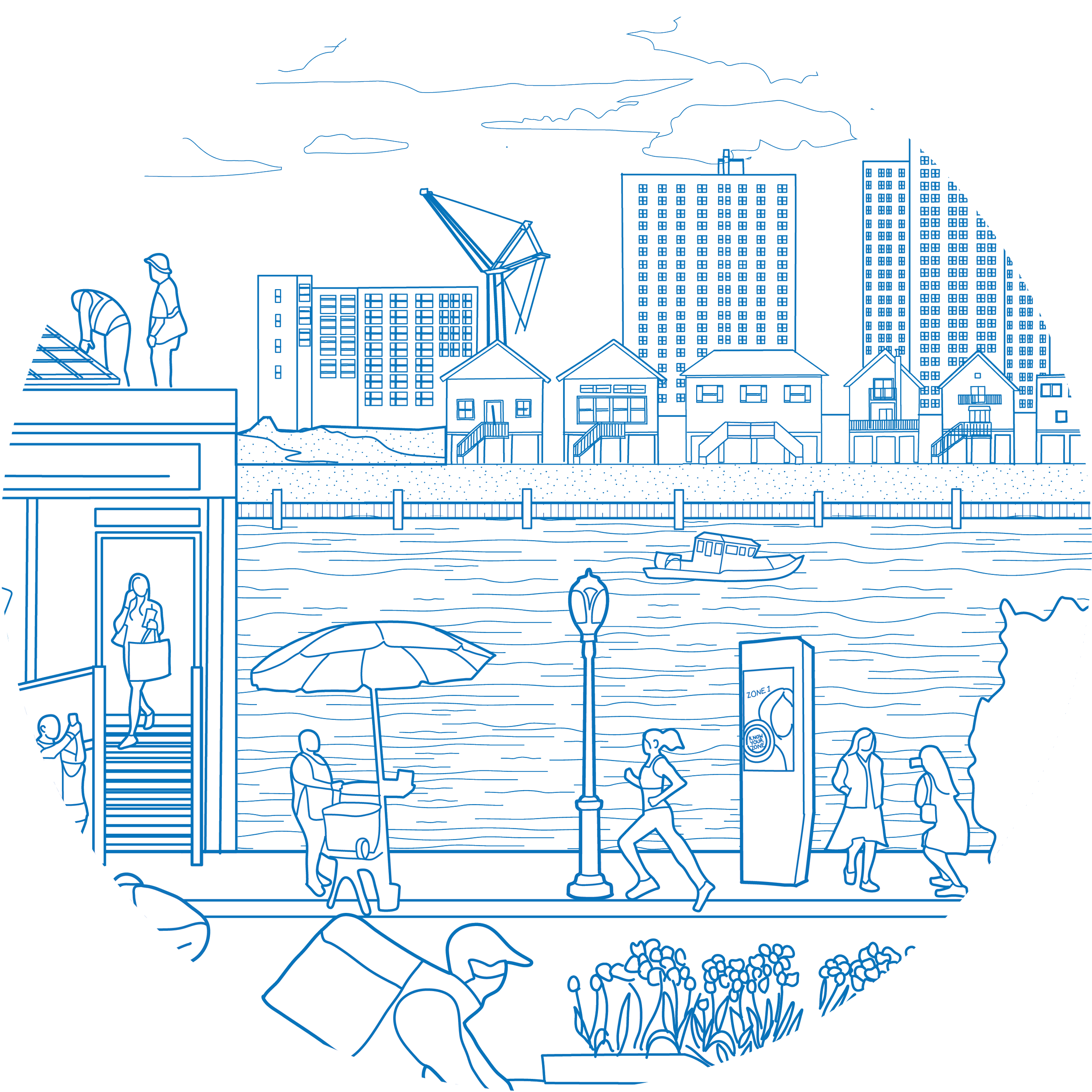
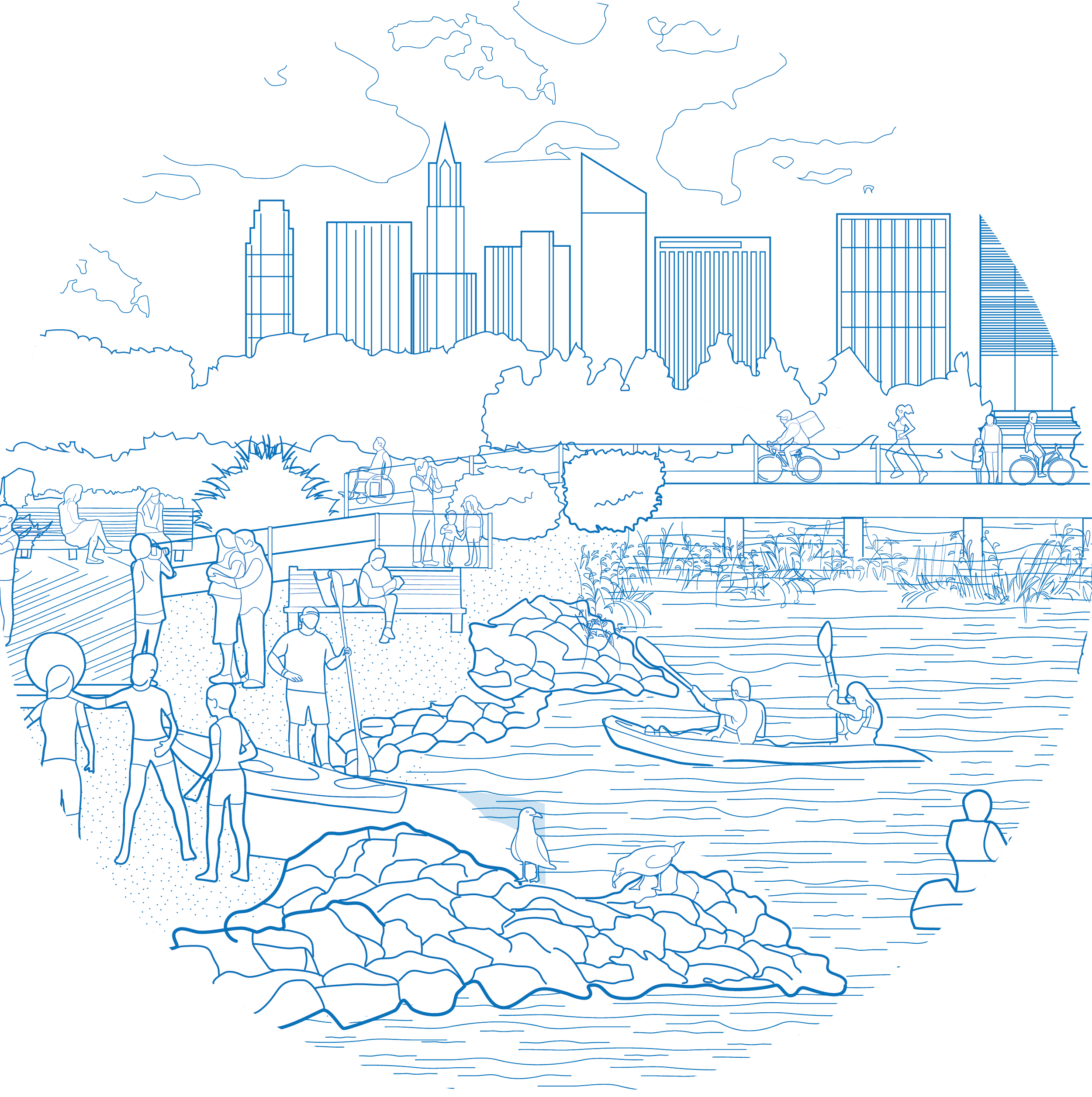
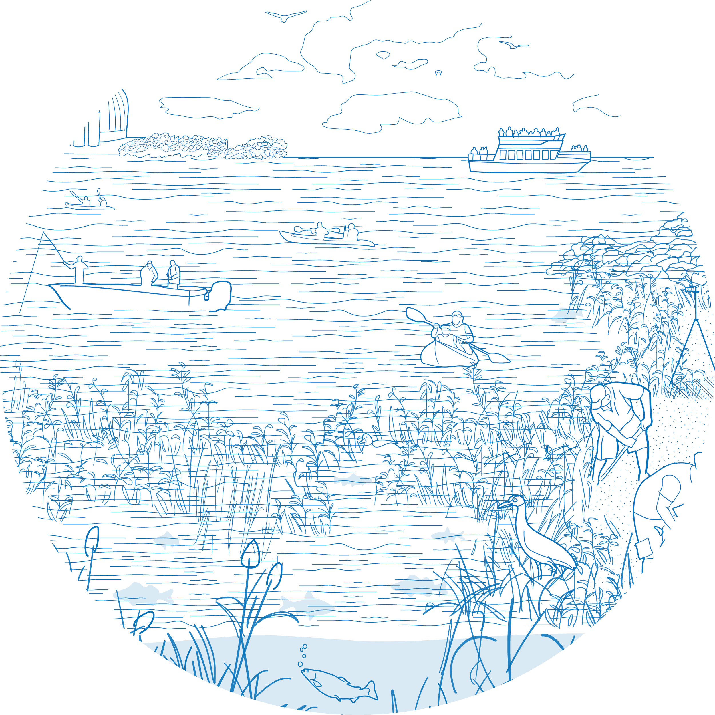
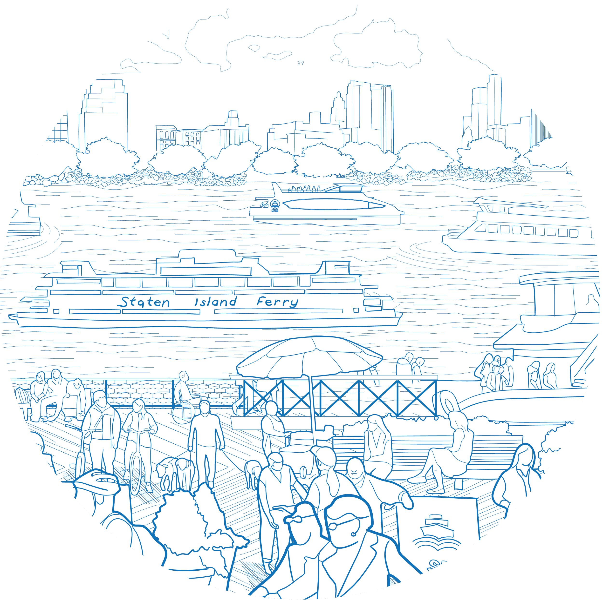
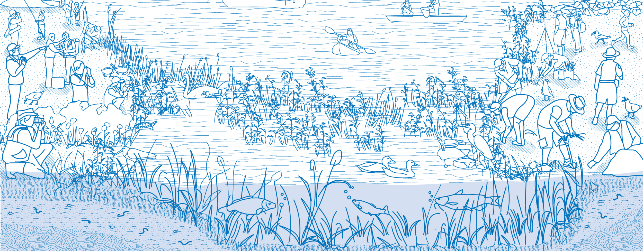
With more than 520 miles of shoreline and an interconnected network of islands, NYC is a city of water and diverse marine habitats. Clean waterways allow residents and visitors to engage in safe and healthy recreational activities, such as swimming at one of NYC’s many public beaches, fishing and boating. NYC’s coastal ecosystems provide many benefits for people and the environments by promoting biodiversity and mitigating the effects of climate change. 

Building on a focus on environmental remediation that goes back to the 1992 Plan, the City remains committed to cleaning its waterways by addressing environmental contamination, loss of natural resources and crumbling infrastructure. The City has earmarked $1.6 billion for green infrastructure. More than 11,000 rain gardens have already been built to collect and absorb stormwater before it enters our sewer system. Rain gardens reduce the pollution that enters and harms NYC’s waterways, and more rain gardens are being planned.  

Key partnerships among the City, State and community organizations also have helped advance in-water restorations, expand habitats and promote biodiversity. Over the past few years, millions of oysters, which function as natural filters for cleaning waterbodies, have been restored to NYC’s waters. In 2019, the State announced $1.5 million in capital funding to help create approximately four acres of enhanced habitat for between 5 million and 10 million oysters in the Hudson River Park’s Estuarine Sanctuary. Oyster monitoring stations and community oyster reefs — maintained by the Billion Oyster Project in collaboration with community scientists — are located throughout the five boroughs. Future habitat improvements may include the installation of reef balls, gabion baskets and mounds of recycled shells to create habitat corridors between piers. 


Improve water quality throughout the five boroughs and build upon key agency and public partner collaborations

+ How can we do it?

  • Enact the new Unified Stormwater Rule to align on-site stormwater management requirements across NYC and expand best practices for retaining stormwater on-site with green infrastructure.
  • Continue to implement the NYC Stormwater Management Program to reduce pollution generated in MS4 areas. Ensure that cleanup plans, permits, and other key decisions are grounded in local solutions developed with community engagement and support.
  • Further reduce CSOs by improving and expanding green and grey infrastructure, as described in the NYC Green Infrastructure Program and LTCPs.
    • Prioritize expansion and equitable implementation of green infrastructure and nature- based solutions.
  • Increase interagency coordination to identify barriers to and opportunities for expanding green infrastructure implementation, maintenance and stewardship.
  • Support innovative bio-extraction pilot programs to improve water quality (including oysters, ribbed mussels and eelgrass) to support cleaner water across New York Harbor and all five boroughs.
  • Continue expanding the Bluebelt program with associated aquatic ecosystem protection strategies.

Protect ecosystems, support ecosystem services, and enhance biodiversity of the natural waterfront, including in-water strategies

+ How can we do it?

  • Increase City, State and federal investment in wetland protection, restoration, acquisition, management and monitoring.
    • Continue to prevent habitat loss, create new habitat and secure space for tidal wetlands migration, while recognizing the constraints presented by the dense, surrounding urban environment.
    • Explore options to protect smaller wetlands.
    • Ensure that wetlands and streams have adjacent natural land, where feasible, to mitigate the effects of storm-related flooding and to facilitate the migration of wetlands when sea levels rise.
  • Implement priority projects from the NYC Parks and NAC WMF and explore new strategies to restore and enhance the natural waterfront.
  • Develop a reserve supply of clean sediment that can be used to elevate marshes that are vulnerable to sea level rise.
  • Continue to advance Mitigation and Restoration Strategies for Habitat and Ecological Sustainability (MARSHES), such as the Saw Mill Creek Pilot Wetland Mitigation Bank. Make wetland impact offset credits steadily available for the permitting process associated with implementing critical public and private waterfront infrastructure projects.
  • Increase coordination between capital infrastructure planning and habitat restoration planning.
  • Work with State and federal partners to modify permit requirements to promote nature-based solutions, building upon the success of designated USACE Nationwide Permits for Living Shorelines and Aquatic Habitat Restoration.
  • Support innovative in-water strategies to promote biodiversity and ecosystem restorations, including the propagation of oysters, ribbed mussels and eelgrass.


Help connect New Yorkers with waterfront ecology and raise awareness of water quality and habitat protection

+ How can we do it?

  • Support stewardship opportunities that elevate New Yorkers' awareness of the health of our waterways.
  • Increase educational signage and improve trails to ensure that the public's access does not disrupt sensitive habitats.
  • Support community science efforts to monitor and restore the natural waterfront.
  • Organize community bio-blitzes to engage New Yorkers and track biodiversity.
  • Increase public awareness of green infrastructure programs through public education and wayfinding.
  • Collaborate with NYC Parks' Urban Park Rangers, local stewardship and nonprofit groups to conduct boat tours, bird-watching hikes and fishing clinics, and highlight the return of wildlife to the city.

Utilize new and existing data sources to assess natural resources and inform decision making for restoration and protection

+ How can we do it?

  • Continue local efforts to use LiDAR to provide precise elevation data to detect land use and topographic changes and provide better information on the current extent of wetlands.
  • Align locally generated wetland map updates with any future State or federal mapping updates to accurately depict the extent of wetland resources to help better protect and manage them.