Governance

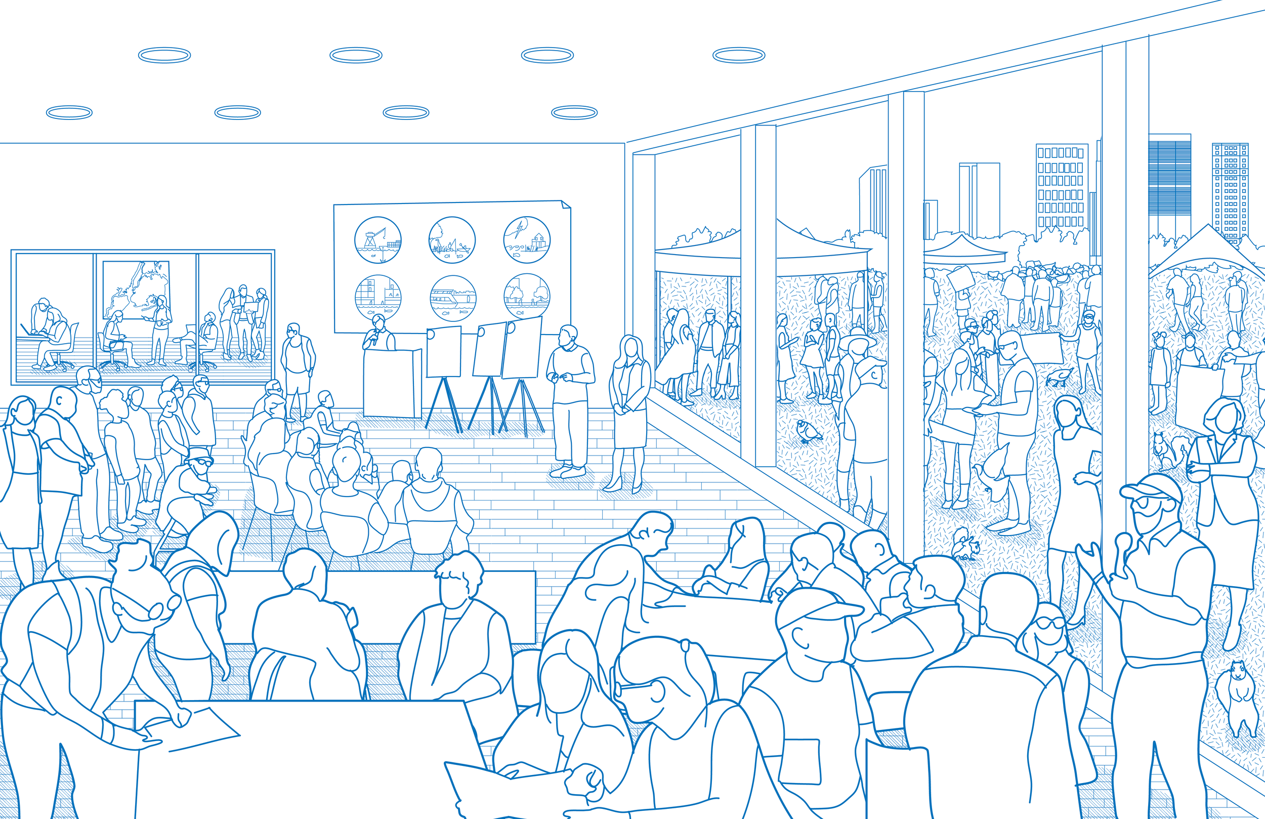
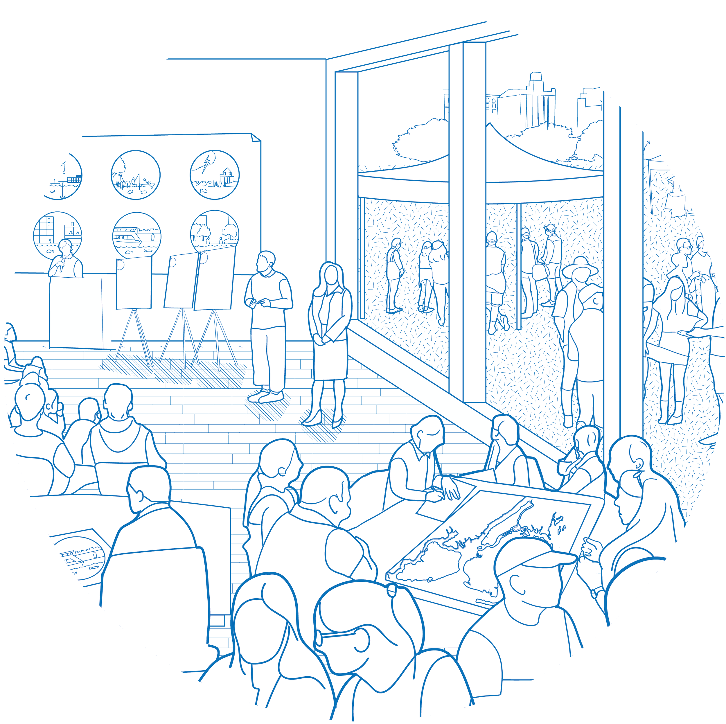
One of the ways for the City to rise to the challenges of a 21st century waterfront and realize the goals laid out in this Plan is to improve how it coordinates the building and maintenance of critical shoreline infrastructure across agency jurisdictions and with different levels of government. This work will also involve collaborating with the owners of privately owned shoreline areas, design and engineering practitioners and local communities.


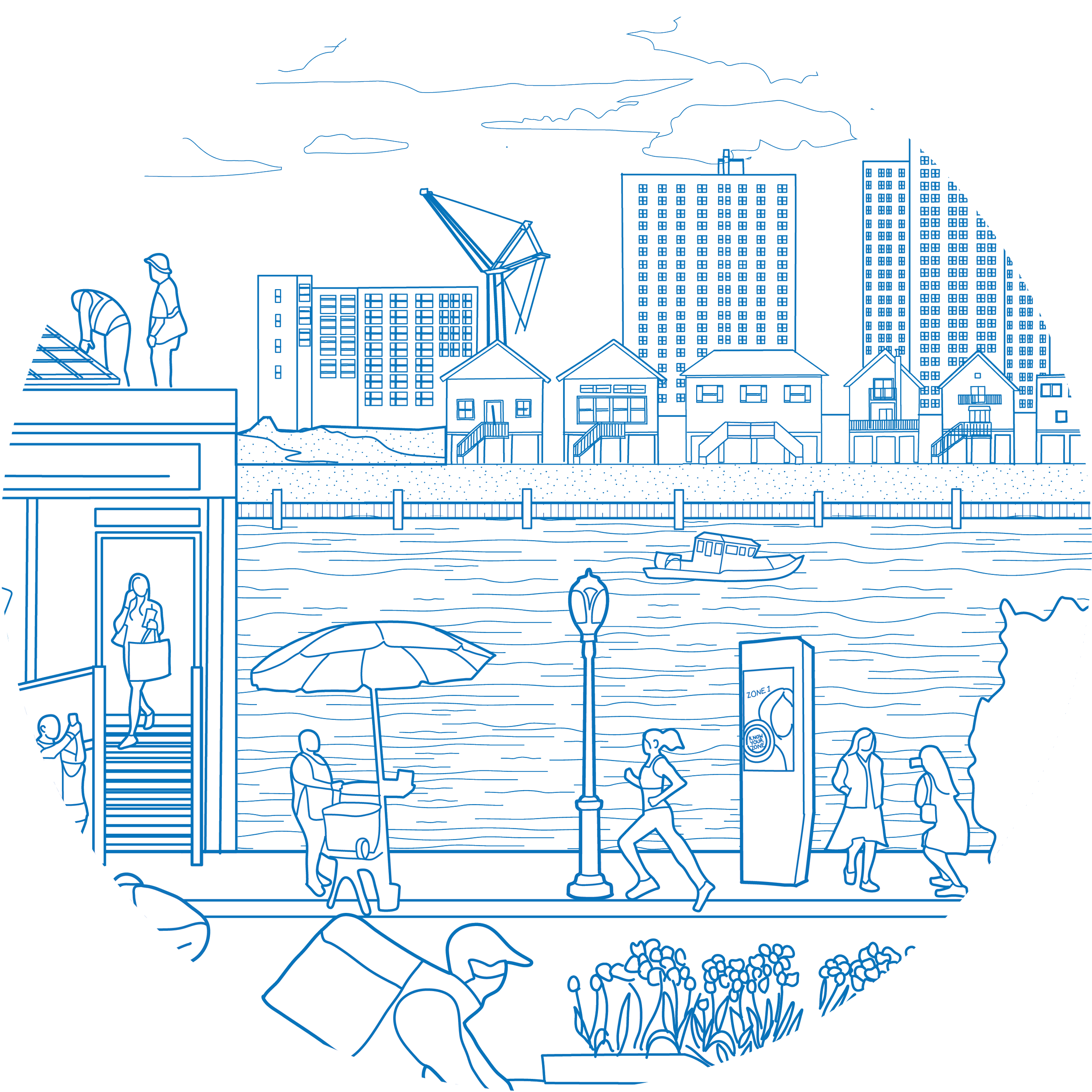
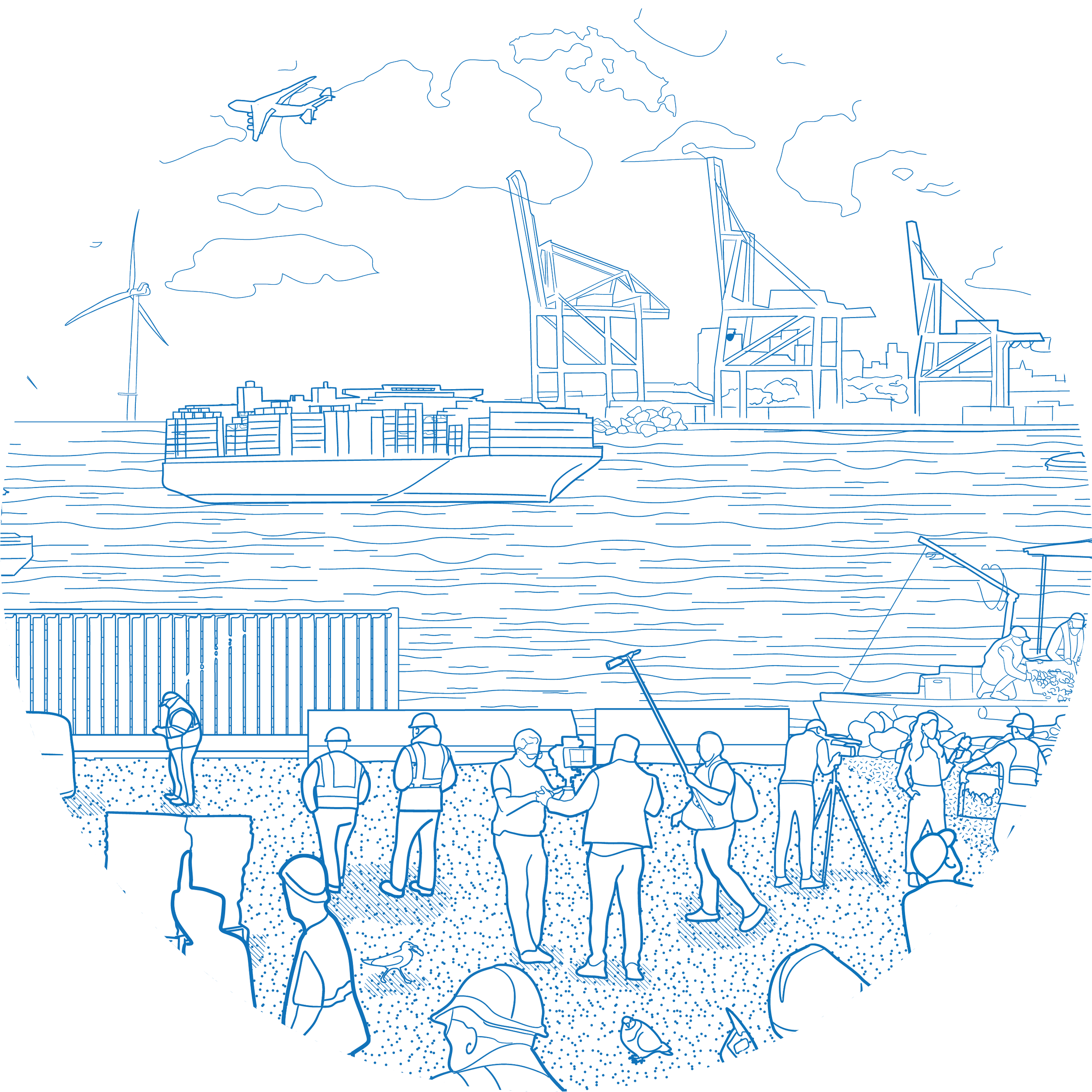
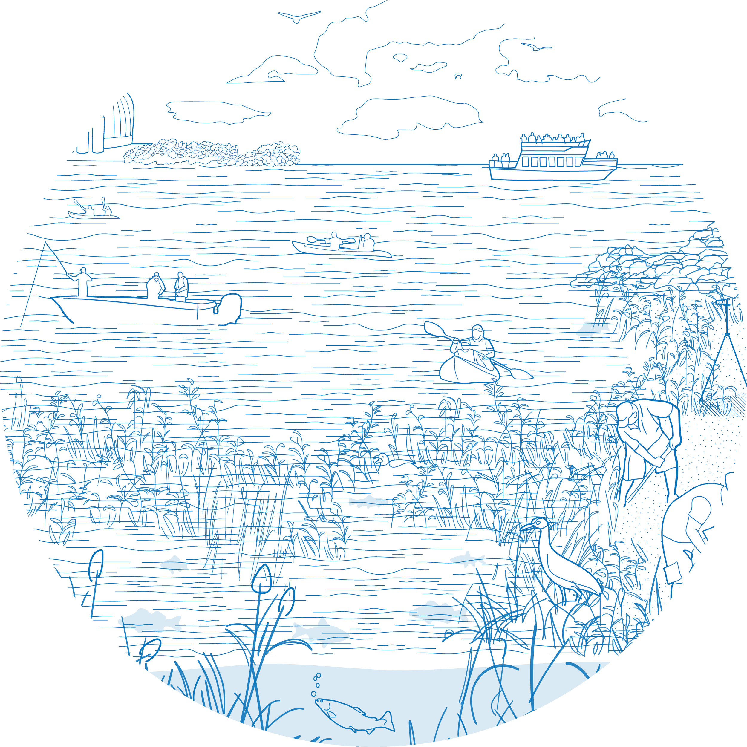
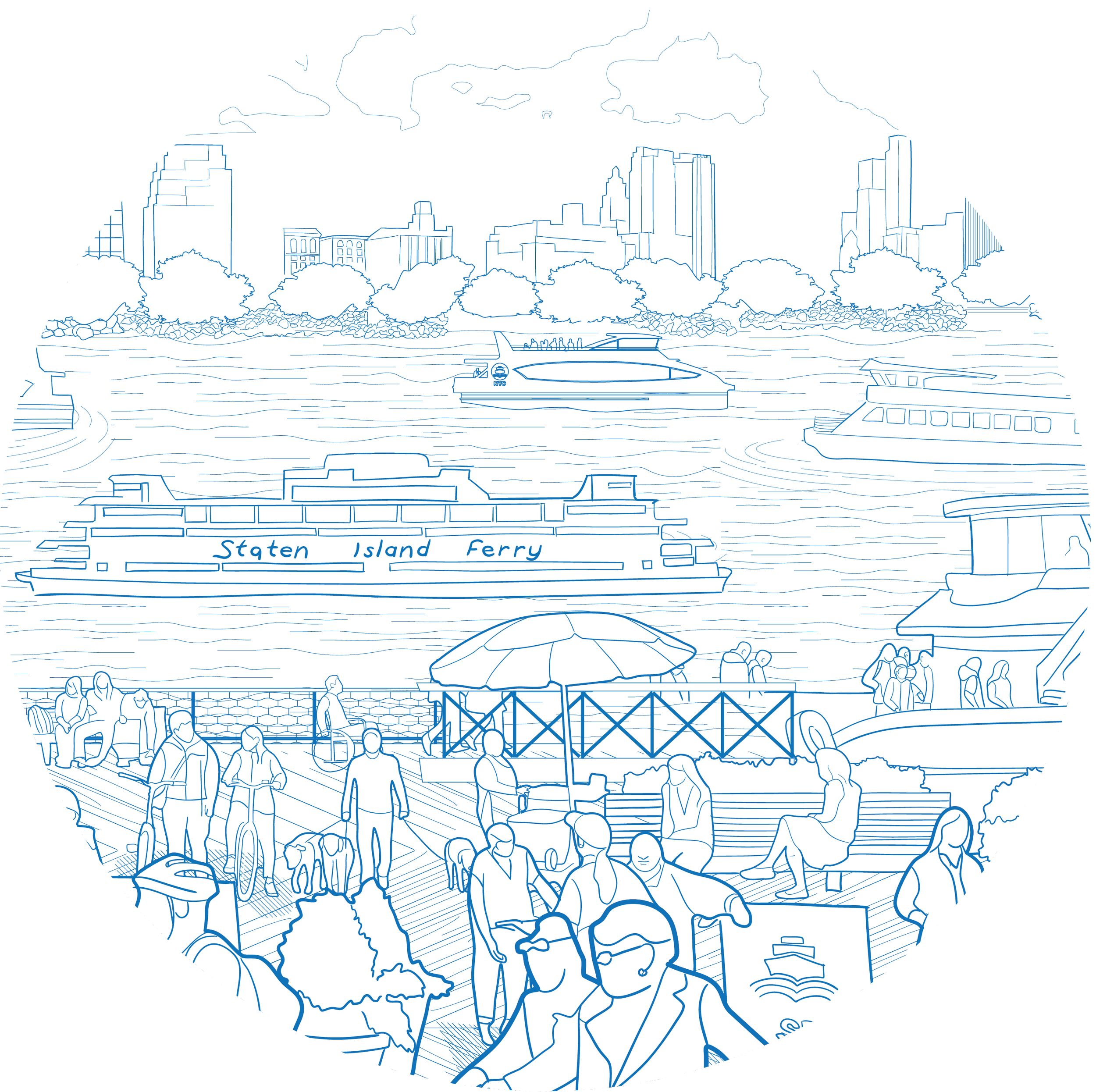
NYC’s waterfront is a complex space because of the variety and intensity of its use and the many entities that are responsible for this range of uses. Oversight of NYC’s waterfront is shared by 14 City, State and federal agencies, three of which (USACE, NYS DEC and NYS DOS) regulate and issue permits for construction and maintenance of in-water structures. This jurisdictional landscape is further complicated by the significant stretches of NYC’s waterfront that are under private ownership. 

This section of the Plan outlines the City’s opportunities to improve the management of waterfront infrastructure, the permitting processes and guidelines applicable to these projects, and the regulations that govern waterfront and waterways.  

Historically, changes in management structures and regulatory reforms at different government levels have shaped how waterfront governance is administered and the shoreline itself. Today, NYC has an opportunity to reimagine governance and the regulations that apply to the waterfront to help meet challenges of building and maintaining waterfront infrastructure in light of climate change. 


Improve coordination, management and monitoring of current and future public waterfront infrastructure

+ How can we do it?

  • Refine, expand and realign administrative processes and digital tools to help ensure infrastructure remains in a state of good repair and encourage modernized, resilient waterfront infrastructure.    
    • Identify ways to improve City administrative processes to allow for greater efficiency and flexibility in implementing the Waterfront Inspection Program and addressing the findings of waterfront inspections through reconstruction, repairs and maintenance.    
  • Develop a structure for efficient and effective coordination, management and monitoring of current and future public waterfront infrastructure that include:  
    1. Codification of the responsibility for portfolio oversight, project identification, design, construction, and operations and maintenance of coastal flood protection projects to a new or existing agency(s) and secure adequate funding to ensure agencies can fulfill these responsibilities. 
    2. Multi-agency capital planning exercises to identify funding needs for implementation and maintenance of waterfront infrastructure and coastal flood protection projects. 
    3. Program oversight to support coordination between City agencies, with State and federal agencies with jurisdictional or regulatory authority, to and resolve inter-agency conflicts. 
    4. Coordination and oversight of long-term maintenance, monitoring, and operations of coastal flood protection systems. 
  • Develop processes to incorporate climate science feedback loops within the management and capital planning of existing and new waterfront infrastructure 

Ease the path to construction by improving the city's permitting processes and developing gold-standard guidelines for NYC's waterfront and waterways

+ How can we do it?

  • Develop a Waterfront Code tailored to the specific and varied conditions of NYC's in-water and shoreline marine structures.    
  • Identify opportunities to improve permit review processes and coordination with federal and State agencies.  
  • Increase awareness of the Waterfront Navigator as a tool for facilitating permitting and regulatory coordination for in-water projects, such as bulkhead repair, floating platform construction and maintenance dredging.  
  • Explore opportunities to improve the WFMMS as an online geospatial data and computer modeling tool that allows multiple stakeholders to access detailed maps, shoreline imagery and other essential data on the NYC waterfront.   
  • Increase coordination among City agencies to align in-water habitat mitigation projects and fund restorations that remove historic fill and debris material from the shorelines across NYC.   


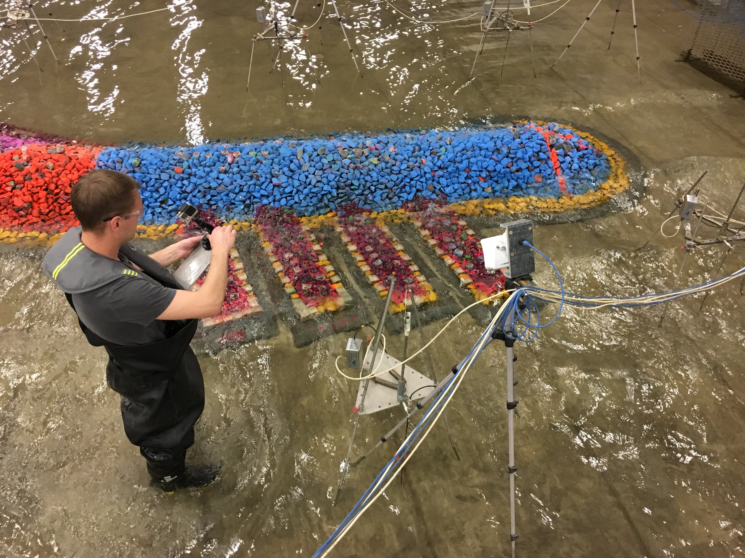
Improve the ecological condition of the City's shorelines by modifying the environmental regulatory processes to allow for in-water material placement for ecological benefit

+ How can we do it?

  • Explore pathways to promote living shorelines, including allowances of small in-water material placement (or clean fill) for ecological benefit.